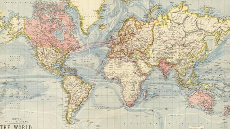
Sovereign Limits is composed of spatial data of various types which, when viewed together, give a complete view of sovereignty and overlapping (maritime) boundary claims around the world.
Sovereign Limits is a comprehensive database intended for use in the research, visualization, and mapping of international borders that divide up sovereignty on land and sea. Easily accessed through an intuitive, interactive map on your web browser, or as standalone GIS data, Sovereign Limits has several key features that set it apart from other land and maritime boundary datasets.
Sovereign Limits is composed of spatial data of various types which, when viewed together, give a complete view of sovereignty and overlapping boundary claims around the world. Across components the data is topologically tied, meaning there are no gaps or missing sections. This allows a complete view of the sovereign footprint of each country both on land and into maritime space.
One example: Blog about North Sea Continental Shelf Cases by Alex Marsh (July 7, 2023) out of several blogs about (maritime) boundary disputes.
Start your journey here
